Tesla's FSD Gets a Map Overhaul After Years of Dismissing the Need
Drivers of Tesla vehicles can expect improved accuracy in speed limit recognition and route planning as the company begins constructing its own proprietary mapping system.
By Valentina Cruz ·
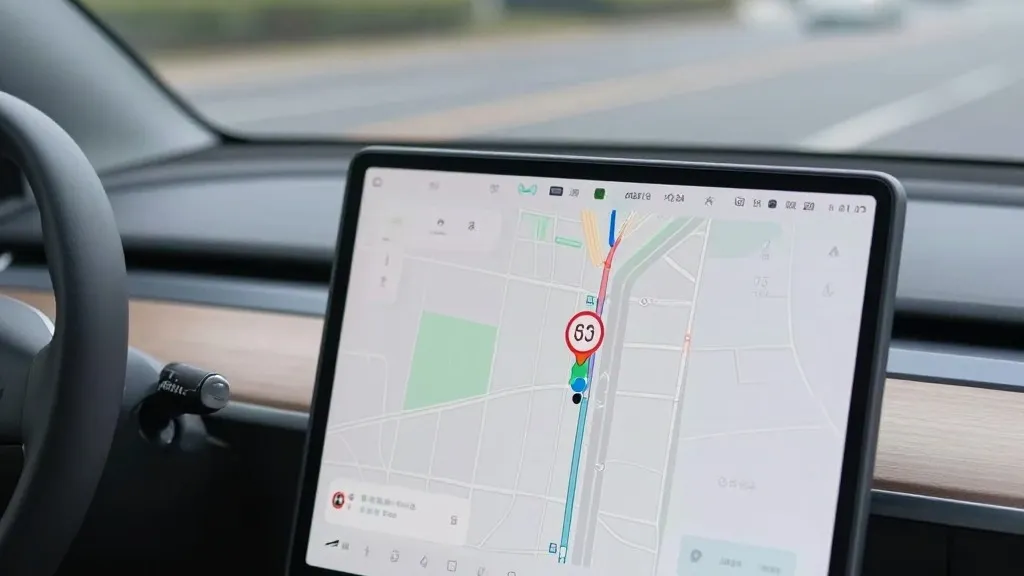
Drivers who rely on Tesla’s Full Self-Driving system will soon experience a fundamental change in how their vehicles navigate the road. The company has announced it is building its own internal maps to address persistent issues with speed limit reading, parking, and route selection. This development signals a significant departure from previous statements by leadership that suggested such detailed cartographic data was unnecessary for a true autonomous driving system.
The primary driver for this shift appears to be the system’s continued struggles with basic environmental understanding. Tesla’s Vice President of AI, Ashok Elluswamy, confirmed during the Q3 2026 earnings call that the company should not depend on external providers for map data. He explained that the new architecture will be powered by AI and fed by collective data from the fleet. This system is designed to learn individual driver preferences and respond to voice commands, aiming to reduce errors in everyday driving scenarios.
The rollout of this technology will occur in stages. It will first appear in FSD version 15 to manage the start and end of trips. Over the coming months, the system is expected to take over broader navigation tasks, including destination handling and parking. This phased approach suggests that the new map layer will become increasingly central to the driving experience as the software matures.
This move contradicts the public stance taken by CEO Elon Musk over the last decade. In 2019, during an Autonomy Day presentation, Musk described high-precision maps as a huge mistake that made self-driving systems brittle. At the time, he argued that relying on detailed maps was a bad idea and compared the reliance on lidar to a fool’s errand. The prevailing message was that Tesla’s vision-based approach could solve driving problems anywhere without needing a pre-mapped environment.
Contextual data highlights why this shift is now necessary. A Belgian road safety group recently reported that FSD vehicles exceeded speed limits in 55% of the 30 km/h zones they tested in Brussels. The cars often displayed incorrect limits on their screens. Meanwhile, the U.S. National Highway Traffic Safety Administration is weighing an investigation into claims that Tesla Robotaxis are speeding through active school zones. These incidents suggest that the vision system alone is not yet sufficient to interpret static road signs reliably.
The new strategy brings Tesla’s methodology closer to that of competitors like Waymo. Waymo uses lidar-equipped vehicles to map cities before launching service and updates those maps continuously. Tesla is now adopting a similar fleet-based mapping model where cars collect data to improve the shared map. The main technical difference remains that Waymo utilizes lidar, whereas Tesla relies on cameras. This convergence suggests that both companies are solving the same problems through similar means, despite their different historical philosophies.
For consumers, this development implies a more stable but perhaps less universal driving system. Tesla is not currently talking about centimeter-level high-definition maps, but a fleet-built map can easily evolve into one. The company continues to push unsupervised FSD in customer cars to the second quarter of 2027, with immediate use in its geofenced Robotaxi fleet. The integration of proprietary maps may be a critical step toward that goal, even if it requires admitting that vision alone has its limits.
Source: Electrek